The trip I've been wanting to do so bad is to actually find Blue, AZ! We've tried several times to find it and failed! One time we came up from Clifton/Morenci on the 191 and couldn't find the turn off. The next time we went through Alpine and got stuck at a river crossing.
 This was back in February. It was cold and it was starting to rain AND we had no cell service. NOWAY are we going to get stuck out here! Jeff insisted we could make it! Lol! So, it was our goal to make it to Blue this time!
We stayed in Alpine the night before we were headed out to Blue and made a stop at the Ranger station there. We've never done that before! I'm so glad we did because I couldn't find any proper maps of the trails on-line. We spoke to Mary Ellen who told us a little about what to expect. She said not a lot of people go to Blue but those who do don't talk about it. She said, "The first rule of Blue is that you don't talk about Blue!" Hilarious! But seriously, the place is such a hidden gem that you really don't want anyone to know about it! We got their last map of the Blue Range Wildness and Primitive Area. It was $10 and they don't take cards. So we had to run down to the gas station and use the ATM. We already had the Apache-Sitgreaves map and I also picked up the paper pamphlet which was free at the Ranger Station. We stopped in and spoke to our realtor and here husband (who has been a hunting guide there for over 20 years). They had all kinds of stories about Blue. The ones that scared us the most were about bears! They said, "It's not called Bear Mountain for nuthin'!" We were only a little freaked out. Plus the Blue maps have pictures of wolves on them! Oh boy!
When we woke in Alpine, we discovered it had just snowed! I saw that it said snow in the forecast but I didn't want to freak Jeff out.
Jeff said, "I'm a little nervous about how cold it's going to be in Blue. What did you get us into?" I told him that I checked the weather and it was supposed to be warmer than Alpine. He didn't seem to sure of me, ha!
April 4th & 5th (Mon/Tue) And so we headed to Blue with snow on our truck!
We immediately saw Elk as we headed down the road! A whole bunch of them! I grabbed my phone just in time to catch this guy!Don't blink or look down for a minute. There is no sign but that is the road to Blue on the left.
Lots of WARNING signs! What's that? Oh it's just the beware of Wolves sign!
Water everywhere!
We took the "Red Hills" way into Blue. NEVER AGAIN! I was so freaked out with the narrow road, straight drop off's and the switch backs! It wasn't as bad as the Million Dollar Hwy out of Ouray, Co. but I was seriously stressing and doing my deep breathing!
Finally on some flat land and now it's crossing rivers.
Turning Right on Blue River Rd.
People live here! There's even an elementary school!
Arrived! The plan is Lanphier to S Canyon about 18 miles. Like the crack in our windshield? That just happened from a little ding, then the snow then the heat from the defroster.
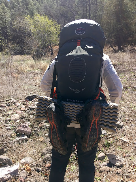
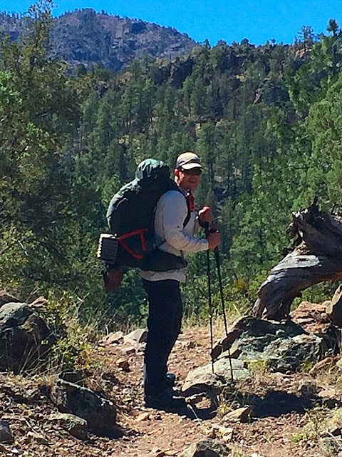
There it is! More caution signs (of course) and we signed in. The last people out here came on March 20th. It was April 4th. We started off with my pack weighing about 37 lbs and Jeff's weighing about 42. We're still trying to figure out how to make them lighter but not sure if that's possible.
Jeff got a GPS/Garmin for us. I read that the trails were really hard to find and that this was a must. I read later in the Trail Guide I got from the Ranger Station:
The Blue Range Primitive Area is intended for those seeking a truly primitive outdoor experience and provides a personal challenge where you can meet and live with nature on its own terms. There are no trail improvements such as bridges to make travel easier. Trails are maintained to a less developed standard, may be more difficult to follow than those in other areas, and are marked (often infrequently) with faded axe blazes that may be difficult to locate in some areas. The 199,502 acres of the Blue Primitive Area remain one of Arizona's wildest and lightly visited places. This is a land of rugged mountains, steep canyons, and stark ridges that is at the same time remote yet accessible through an extensive trail system. Elevations in the Blue range from 4,500' along the river to 9,355 feet atop Blue Peak.
Let me tell you this ain't no lie!
Lots of gates to go through. Always leave a gate the way you found it. If it's closed. Close it behind you. If its open then leave it open.
We left the truck and headed to the trail. In hindsight right now I would say: Start out with your water shoes!!! AND don't ever start out on the S Canyon trail. First off you probably wouldn't ever find the trail and there is no water. Plus you would end your day at the top of the mountain where the bear poop was everywhere and I would NEVER advise to camp there!Around the corner was a river! There was a white crane perched on one of the fence posts and it took off as soon as we approached. We never did see another crane the entire time we were in Blue.
I read there was lots of river crossings, so we made sure to bring rugged water shoes.
We had JUST started out and now we had to take our packs off, roll up our pants, put our river shoes on, put our packs back on...only to do it again on the other side!
Firsts for us: Got to use our water shoes and got to use our towel to dry off our feet!
How we dried out our shoes.
There's the trail sign.
Climbing higher and higher
Crossing stream after stream.Tree! Don't forget to look up sometimes!
And then we saw this on the side of the mountain! Is it a bear!?? Nope! A baby cow!
He was so freakin' cute and he just wanted to play! He came trotting up to us and then his daddy game running down the hill and snorting! I didn't get a picture because we took off running! Holy Cow!
Then his mamma cow came running over (she was white) then this gal and her even littler calf came over to the daddy cow. We were stuck in mud (literally). We were in the worst spot because we just took off and the only place to go was in mud. We were sinking and when you tried to take a step, the mud just wanted to pull your shoe right off! Finally, when the cow family was all together, they started walking up the trail. The trail we were on! Ugh! We tried making cowboy noises to heard them on. They would walk a little ways and then just stop again. UGH! So we found a spot to sit and have lunch.
Lunch. Ick. I hated it. Looks like bear poop to me! If you like Cliff bars then you will like this but I don't care for either.
Jeff's socks and shoes were soaked from the mud. He took his socks off and put his gortex socks on. Another first! They worked fabulously! His feet stayed dried all day! We thought the cows would move on but they apparently stopped and had lunch too! We had to keep "herding" them along. We were like, "Why are they staying on the trail?" Then later I read in the Trail Guide:
Most trails on The Blue run a course between canyon rim and canyon floor. This is a direct result of their heritage as stock trails, since moving cattle usually meant herding them into high pastures during the summer and returning them to the canyons when snow covered the highlands. Providing access between the main travel ways are connector trails that often prove handy in making possible loop hikes of a day or less in duration possible by leaving via one main trail and returning by another.
Ohhhh, so they are cow trails! They were probably wondering what the heck WE were doing on THEIR trail! Rude humans!
We followed the cows for a ways and then they refused to move on! So we had to sneak around them somehow and then we lost the trail! Jeff checked his GPS and discovered we had gone a half mile off trail! Hindsight: DON'T FOLLOW THE COWS! We had to back track (which meant we had to go around the cows again!). No wonder they refused to move! It's sad when they cows know more than you do.
Oh here's the trail and of course its straight up again! I keep picking these trails that are switch backs up all day and then all down hill the next day! We came to a real pretty spring that I THINK was Franz spring (no markers) and there were like 5 different trails going all different ways. We stuck to the main trail and checked our GPS to make sure we were on the right one and we were. I didn't take a picture because I was too exhausted to get my camera out and I had to focus on each step going up. We came to a really nice flat camp sight and I just wanted to stop but Jeff said it was too early to stop. This is where I became a little whiney. It was more up and up and up and I was moving like a turtle. We knew it was time to stop when (just like on the last trip) we came to a point where we didn't know which way to go and my phone died. It's always best to figure out tomorrow which way to go, ha!! We found a great camping spot and my feet were so happy! We started out around 10 am and it was 5 o'clockish.
I wanted a fire and my sweet man tried getting one started and gave up so he could start dinner. Which was fine by me! I was starving! We set up our tent, he cooked and I got the flame thrower lighter out and by sheer determination...started the damn fire. My son-in-law can start a fire with a flint and just a spark! I need to read up on how to start a fire.
Jeff made the Southwestern Masa and beef and the Cinnamon Apple Crisp. I brought some tortilla chips to throw in the dinner and they were smashed just perfectly! They were both super delicious plus the apple crisp has raisins in it which was a pleasant surprise!
After dinner we hung our food up in a tree. It wasn't a big tree and I'm pretty sure any determined bear could get it if they wanted too, but it was away from us and our tent and that's what mattered.
Whoops! We forgot to put our dinner trash in the bag! Jeff just put it on the nearest branch.
I stayed out by the fire for a little bit while Jeff was getting our electronics charged up in the tent. That night our bodies weren't screaming like they were on the last trip. Thankfully! We had a hard time sleeping because we were scared of bears so Jeff turned on a book and we listened to that for quite a long time. It was great. Then we were tired enough to fall asleep. We woke up around midnight or 1 am because we heard the loud snapping of branches breaking! Something was definitely close by. What does Jeff do? He puts on his head lamp and goes outside! When he unzipped the tent I could see the moon between the trees and it was gorgeous! Wish I had taken a picture but I was thinking we were going to have to scare off a bear! Turns out it was a freakin' cow! Jeff shined his light on it and it let out a very loud MOOOOOO! It went up the trail that we had decided we were going to go on in the morning. After that, we had no more incidents and we slept fine. Our alarm clock was a woodpecker. Jeff said he was having a dream that he was shooting a machine gun! He also said that he wasn't worried about any bears coming around our tent because my snoring would have scared them off! I'm pretty sure I don't snore! And when and IF I do, its only when I'm super exhausted or stuffed up. I musta been pretty exhausted, ha!!! When we were taking down the tent, there was "snow" under the rain tarp. Jeff thought it must be the condensation from our breath that froze! It was cold that night!
The plan: Take Cow Flat to S Canyon. Turns out...Cow Flat is straight up!
First picture is looking up, second one is looking down.
Staying on Cow Flat which got even worse and straight up to the top of this mountain!
Jeff checking his GPS to make sure we were on the right trail.
We made the blueberry granola breakfast and it was delicious! The blueberries were slightly crunchy! After breakfast we kinda lost the trail and started looking around. We saw HUGE piles of bear poop everywhere! We're thinking, "We are in their den!" We found the trail and booked out of there!
Ahhh, downhill f o r e v e r! Which gets pretty hard on your ankles and knees. Do you see how high up we were? Dang!Rock piles started showing up because it became difficult to find the trail. It was super dry on this side of the mountain. Not like the day before where we crossed streams all day. There was NO water on this trail! We stopped and had lunch under a tree. Jeff had the Cranberry Almond bar (which looked even more like bear poop!) and I had a pro bar that was FAN-TASTIK! It was like eating a whatchamacallit! Definitely getting those again! One thing that we forgot to do on this trip was air our feet out at lunch! I don't know why I didn't remember to do that! I think my feet would have liked it.
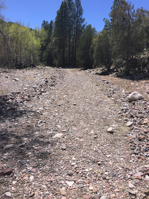
We finally got to the bottom and Jeff checked his GPS. We thought we were so close (but NOT) so we just crossed the river in our shoes. We didn't want to go through the pain of taking off our shoes.
The cold water felt glorious on our feet!
We were thinking, "Oh it's a road. Our car must be around the corner." NOPE!
Crossing another stream.
And another. We had no idea where the trail was. It just seemed the right way to go?
No trail.
We knew we were getting close when we saw these horses running up to see us. I stopped to take a picture and Jeff kept going on.
Wait for me!
Signing out.
Back to the truck! We started the day off around 7am and ended at 1:22pm.
18 miles. Would I do this hike again? Maybe not this exact hike but I would definitely hike all the other trails in Blue!
We headed out of Blue toward Alpine and NOT on the Red Hill road. It was a beautiful drive. When we checked back into the same motel we stayed in the night before, the guy asked where we stayed last night. Jeff told him we hiked Blue. He said, "Wow, congratulations!" Ha! We took showers and a nap! Then headed to the only place that was open in town! It must have been happy hour because it was packed! We saw Mary Ellen from the Ranger Station and she came over and asked us how our hike was! Love small towns!
This was the band that was playing. Before they came on, they were playing music from the record player!
On the way home the next day, we took the Big Lake road and saw a bunch of deer and no people! Maybe it's because it said "Road Closed"????


No comments:
Post a Comment